
Your fiber network isn't a static map, it's a living system
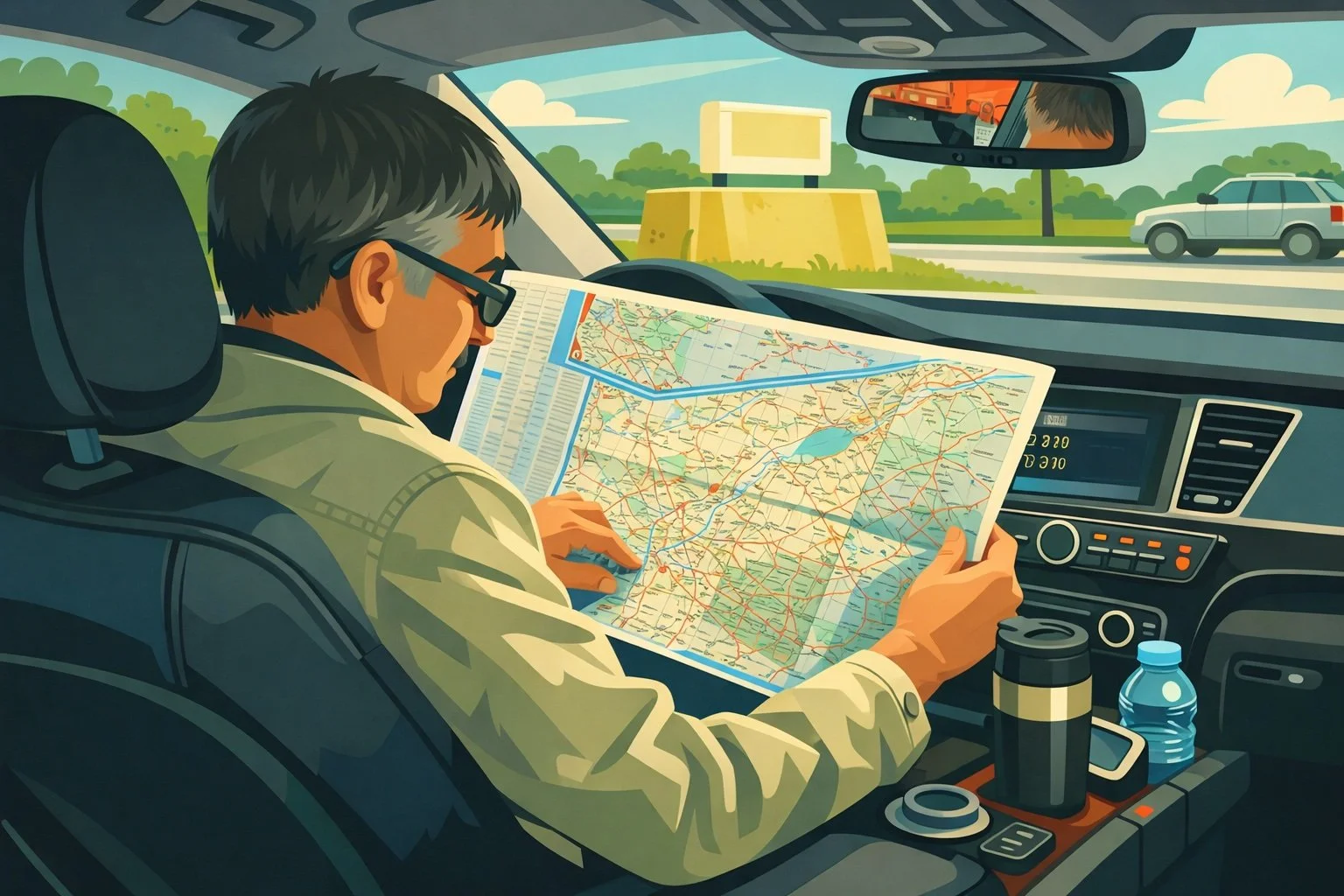
Have you ever tried navigating a big city like Montreal, Toronto, or New York during rush hour with nothing but a paper road map from the 1980s to guide you? You’d better arm yourself with patience, and a cup of coffee!
I’m talking about that good old map we used to keep in the glove compartment, a crumpled mess that was impossible to fold back into shape, with a route scribbled in red pen by someone who knew “a shortcut.” The map was accurate; the streets were where they were supposed to be. But if there was roadwork on a major thoroughfare, an accident on the bridge, or you simply wanted to avoid rush hour, the map told you... absolutely nothing. You were on your own with your judgment and your AM radio.
These days, everyone uses Google Maps or Waze, whether you're in Quebec City, Calgary, or Halifax. Not because paper maps were inaccurate. But because driving isn't just about seeing the roads, it's about navigating a system. Traffic, incidents, detours, real-time updates. It's a whole different ballgame.
Well, guess what. Your fiber-optic network is exactly the same.
Maps vs. GPS: a difference you're already familiar with
When AutoCAD or a generic GIS program maps out your network, it gives you a map. A nice map, with the fibers in the right places, the poles, the cabinets, and the conduits. The geographic information is all there.
How about a map?
Which fibers are currently available versus which ones are currently in use?
Which client is connected to which fiber, in which splice case?
What happens to the other 47 customers if you shut off this section for maintenance?
What alternative route is available if this section closes tonight at 11 p.m.?
If your network is at 80% capacity in that area and you're about to run out of fiber?
A generic GIS, an AutoCAD file, or worse, a collection of Excel files, can show you the geography. But your fiber network isn’t just geography. It’s a logical system. It’s a living system, with dependencies, data flows, capacities, and cascading effects.
And managing that system with tools that only have a map... it's like trying to navigate during rush hour with your old, crumpled paper map.
The problem with "generic" tools
Let's be clear: AutoCAD, QGIS, ArcGIS, Google Earth, and Excel files, they're all solid tools. But they were designed to represent spatial information, not to manage a telecom network.
Here's what it looks like in real life:
You have an outage in a certain area. Your technician heads out to the site with the PDF map that someone printed on Tuesday morning. The map is probably three updates behind. Once on site, he calls the office to find out which customers are affected. The person in the office searches the Excel file for subscriptions. Another colleague tries to trace the fiber in the CAD file to see if there’s an alternative route. Meanwhile, customers are calling. And you’re managing a crisis with three different tools that don’t communicate with each other, hoping that the data in each one is still accurate.
It's like a paper map that quietly tells you the road exists, but doesn't help you navigate at all.
The Digital Twin: Your Network GPS
That’s exactly why the concept of the digital twin exists. Not just to look good in a pitch deck, but to fundamentally solve that problem.
A digital twin isn't just another way to map out your network. It's a dynamic, real-time representation of that network. Every fiber knows what it's connected to. Every customer knows which fiber they're on. Every change in the field is reflected in the system. And the system can answer questions that no map can.
It's your Waze for fiber networks.
Zonedge has been built around this concept from the very beginning. The three tools: Zonedge GIS, Zonedge WEB, and Zonedge TERRAIN, together form a comprehensive digital twin, where every layer of your network is connected and consistent.
When a technician updates data in the field using Zonedge TERRAIN, even without an internet connection, that data syncs as soon as a signal is restored. The manager in the office sees the same information on Zonedge WEB. And engineers planning network expansions work in Zonedge GIS with the exact same real-time network status. A single source of truth. Not three different versions of the truth in three different files.
What this means in practice
Let’s go back to the breakdown you mentioned earlier. With a Zonedge digital twin, here’s how things work differently:
The fault is identified. With just a few clicks, your team can trace the affected fiber from end to end and see exactly which customers are impacted, no need to dig through an Excel spreadsheet. The system shows you if there’s an alternative route available to reroute priority services. The field technician has access to the correct, up-to-date map directly on their tablet. And when the repair is complete, the documentation is updated directly in the system, no paper reports that will end up at the back of a drawer.
That's the difference between Waze, which recalculates your route in real time when there's an accident, and your old map from the '80s, which just shows you where the streets are.
The real question isn't "Is our map accurate?"
The real question is: Do we view our network as a system?
Can we answer immediately the question, “If this section goes down, who is affected?” Do we know in real time where the available capacity is? Can we coordinate between the office and the field without relying on files scattered across three different computers?
If your honest answer to these questions is “um… not really,” that’s fine. Most organizations that manage fiber networks are still operating in “paper map” mode, even if they think they’re using “modern tools.” A nice, up-to-date CAD file is still a map. A well-stocked, generic GIS is still a map.
Fiber optics is an infrastructure just as critical as roads, water, and electricity. You deserve the tools to manage it as a system, not as a map.
At Zonedge, that’s exactly what we’ve built. A digital twin designed from the ground up for fiber networks, featuring three applications that cover the entire lifecycle of your infrastructure.
Want to see how this changes things for you? We're here to talk it over.