
Google Maps and Zonedge
(English)
Ten tabs open at the same time, and then you lose track of the right one. Does that sound familiar?
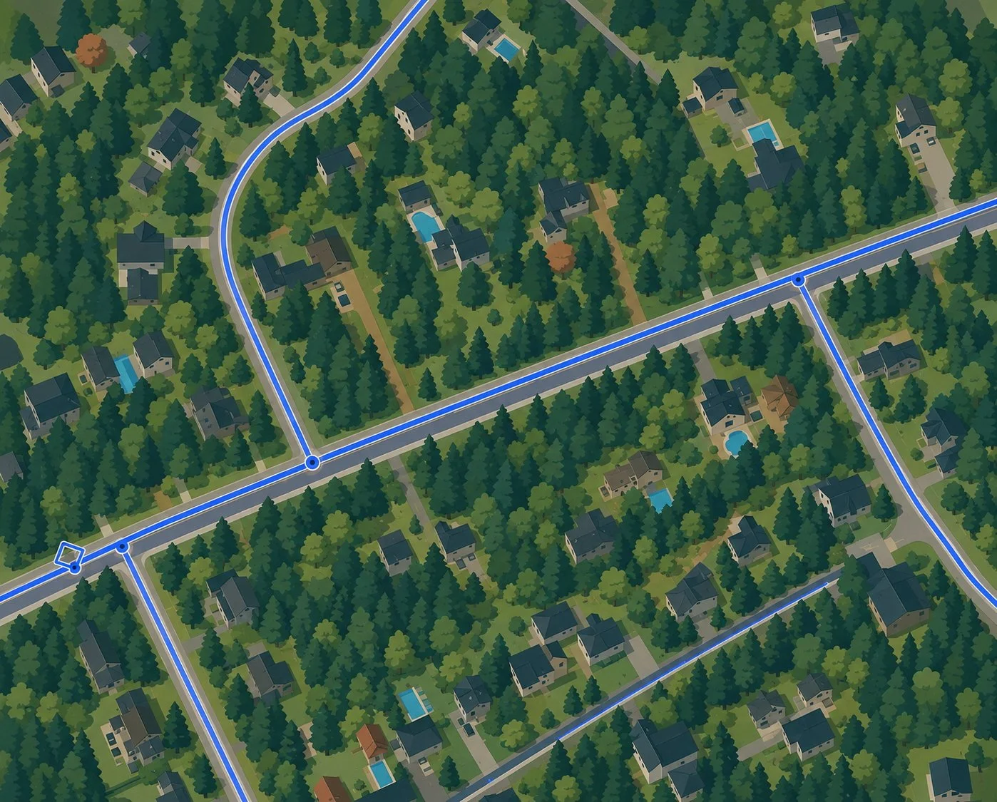
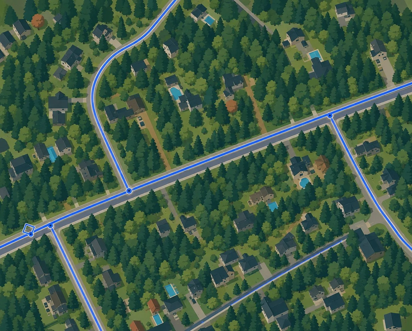
In this presentation, we demonstrate how integrating Google Maps is making a real difference in the day-to-day work of field teams. Street View becomes a true time machine: we can spot the fence blocking a utility pole before we even leave the truck. The satellite view, meanwhile, reveals a hidden access route that completely bypasses a road closure on a main street.
That’s exactly what Zonedge promises: a single source of truth, where your field data, maps, and navigation tools are finally all in one place. No more switching back and forth between three different software programs just to prepare for a single field trip. Zonedge centralizes everything, from virtual surveying to network management, in a single platform designed specifically for fiber optics.
And the real kicker in all of this: a zero learning curve, because everyone already uses this card every day. The result is a unified work environment where the familiar meets the specialized, without ever compromising on performance.
