
Contractors and Clients: How to Better Coordinate As-Built Drawings During the Construction Season
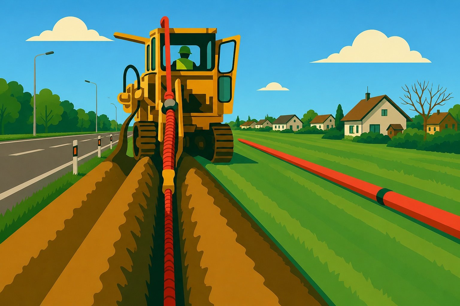
You're launching ten construction projects in June. The engineering firm releases the plans. The subcontractors start digging. And then, someone has to make sure that what's been installed underground ends up being documented, correctly, in the right place, and in the right format.
In theory, it's stipulated in the contract. In practice, the as-built drawings arrive late, are incomplete, or are in a format that your GIS system can't process.
It's the classic problem of construction season: everyone is building quickly, but no one is documenting the progress in real time.
The gap between what the subcontractor delivers and what the operator integrates
The subcontractor did its job. It installed the cables, set up the splice boxes, and documented the access pits. But what about its documentation? It’s stored in an Excel file, a scanned PDF, or worse, handwritten annotations on a printout of the original plan.
On the other hand, the network operator or municipality has a GIS to maintain. It needs structured, georeferenced data that is ready to be integrated into its platform. What the contractor delivers and what the client can accommodate are rarely the same thing.
This gap costs time. Someone has to do the translation; convert the data, correct errors, and follow up with the contractor for clarifications on a road that was actually repaired three weeks ago. Meanwhile, the GIS remains up to date on paper, but not in reality.
And when construction projects pile up in the summer, which happens just about everywhere between June and September, the backlog grows. You end the season with a stack of as-built drawings to incorporate, data from various sources, and a digital twin of your network that no longer reflects what’s actually underground.
Why Coordination Doesn't Improve on Its Own
It's not a matter of a lack of willingness. The subcontractors know how to document things. The operators know what to do with the data. The problem is the lack of a shared workspace.
Everyone works with their own tools. The subcontractor captures what they can on-site, often with limited resources: a piece of paper, a photo, a sketch. The client waits for the final project deliverable before beginning integration. In between, there is no validation loop, no standardized format, and no real-time visibility into what has been done.
The result: errors aren't detected during construction. They're detected afterward, once the street has been reopened, once the contractor has moved on to another project, and once fixing the problem costs ten times more than it would have cost to address it at the source.
Zonedge as a bridge between the two teams
That's exactly where the Zonedge platform makes a difference.
When a field technician enters data directly into Zonedge TERRAIN, such as cable location, depth, splice box type, and joints, the information is uploaded to the platform in real time. The project manager or engineer on the client side sees the updates in Zonedge GIS at the same time. There is no need to wait for a final project deliverable. There is no need for any post-project data conversion.
Data is entered once, in the right place, in the right format. The GIS is updated as work progresses, not two months later.
For a contractor managing multiple job sites simultaneously, in Hawkesbury, Sherbrooke, and Kingston, it’s the difference between a network documented in real time and a pile of files that will need to be reconciled in September.
A concrete example
Simon works for an engineering firm that is overseeing an FTTx deployment for a municipality in the Eastern Township region. Two subcontractors on-site, six weeks of work, and about 40 access wells to document.
In the past, Simon would wait for the as-built drawings at the end of a project. He would then spend one to two weeks correcting, reformatting, and validating the data before integrating it into the municipal GIS. Sometimes, he had to go back to the subcontractor to clarify certain points, which slowed everyone down.
With Zonedge, technicians enter their data directly in the field at the end of each workday. Simon verifies the data on the platform as it comes in. If something doesn’t match the original plan, he notices it before the trench is backfilled. The municipal GIS is up-to-date by the end of the season, not six weeks later.
The construction season isn't going to slow down. Construction projects will continue to pile up. The real question is whether the as-built drawings you'll be incorporating in September truly reflect what was installed in June, or whether you're managing a documented network with a constant time lag.
Zonedge is what bridges that gap.
Ready to see Zonedge in action? Request a demo for free!
